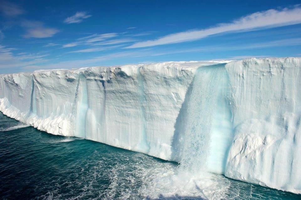
A new false-colour image of Austfonna Ice Cap taken by Sentinel-1a of the EU’s new flagship Sentinel System tells of a chilling occurrence – the melting ice cap and its drainage to the oceans has speed up in recent years, possibly due to global warming. The colours from the image taken by the satellite denote flow rates, from dark blue (slow flow rate) to red (fast flow rate).
Global Warming and the Austfonna Ice Cap
Located on Norway’s Svalbard archipelago, Austfonna stretches a little over 8,000 square kilometres. The body of ice in this area has been relatively stable in recent years. But this current rate of melting ice cap, one of the largest on earth, as the satellite image suggests, represents a big jump in its flow rate, a possible sign of global warming.
These findings were presented in Brussels during the launching of the EU’s new Sentinel 1-a radar spacecraft. The latest satellite image taken by Sentinel reveals a significant increase of the ice flowing in its main outlet glacier to the Barents Sea, the scientific community is concerned that this is a sign of global warming.
The officials at the European Commission have been very eager to demonstrate the capabilities of the Sentinel satellite before it even goes into full commission, and that includes its power to provide clear images even at high altitudes. This satellite has only been launched in just one month but the EU has already put it to work doing a range of duties including science observations.
Sentinel Satellite System
Aside from Sentinel 1-a, there are other EU Sentinels watching over the earth. These satellites include Sentinel 2 which is equipped with multi-wavelength detectors designed to study land changes, Sentinel 3 which is similar to S2 but is designed to observe ocean properties and behaviour, Sentinel 4 which has a high orbiting sensor to provide a global perspective on gases such as ozone, Sentinel 5 which functions as a low orbiting sensor designed to monitor air quality, and Sentinel 6 which is designed to monitor sea surface height as a result of global warming.
“We’ve observed Austfonna with various satellite radar datasets over the past 20 years, and it hasn’t done very much,” says Prof. Andy Shepherd from Leeds University, UK. “But we’ve now looked at it again with the new Sentinel-1a spacecraft, and it’s clear it has speeded up quite considerably in the last two or three years. It is now flowing at least 10 times faster than previously measured,” he added. This may be an outcome of global warming.
A detailed report about this occurrence will be published in a science journal. The report will include the probable cause of the speed-up. “Although ice caps and glaciers contain less than 1% of the world’s ice, they contribute around 50% of the sea-level rise due to ice melting,” says Prof. Shepherd.
The quality of the Sentinel with the image of the melting ice cap, according to Shepherd’s team was very impressive considering that the satellite was still on its way to its final operational orbit. Its remarkable performance provides bright prospects for future studies of the cryosphere. When similar Sentinels are launched in the next 18 months, acquisition of satellite imagery and scientific research will get a boost.


